Yeruham
General Information:
Three research sites will be located within the local council. Each site has its own unique attributes to suit various needs.

Yeruham – Research Site #1
![]() General Information:
General Information:
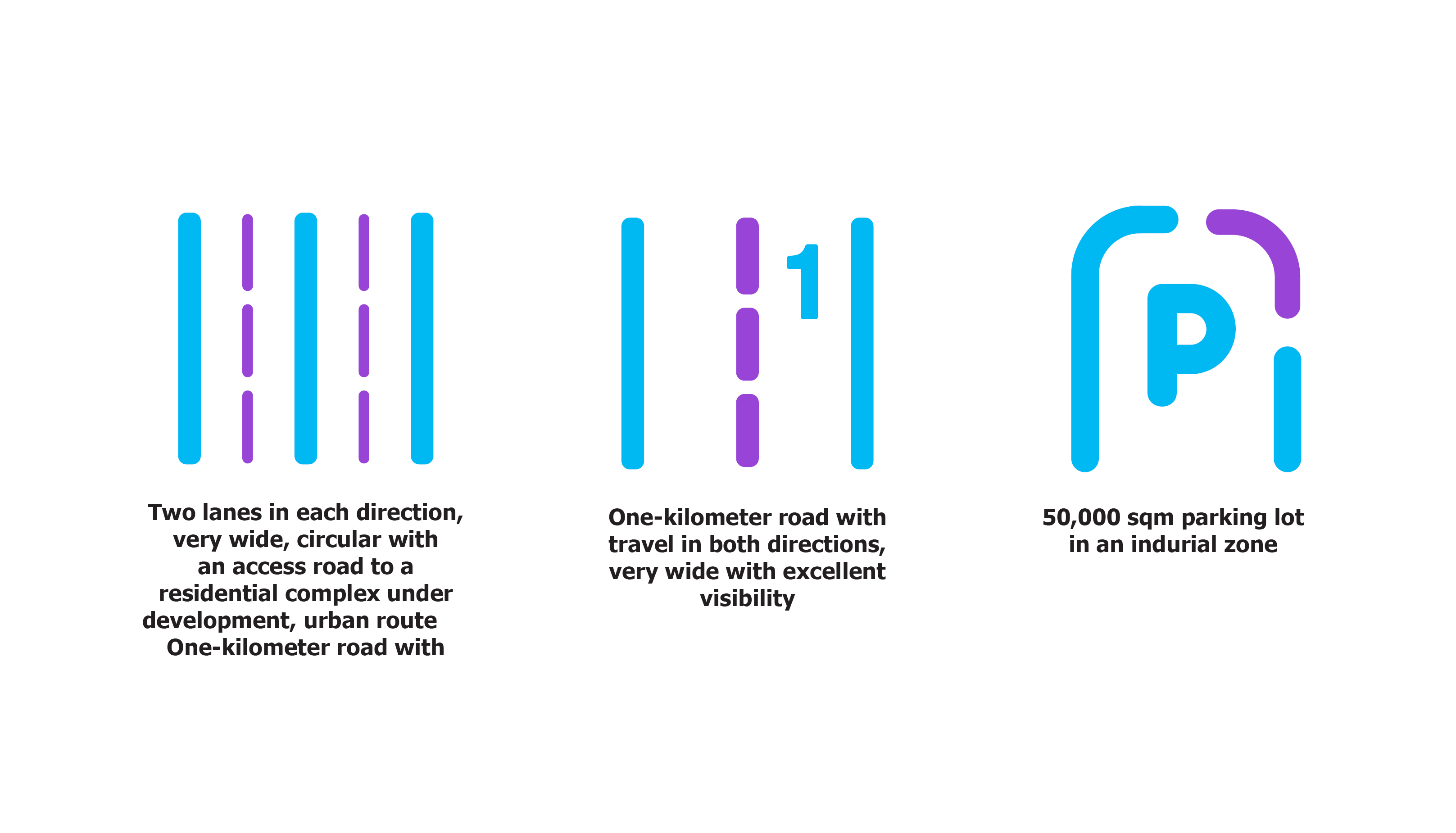
A research site in the Yeruham Industrial Zone. The site is a 50,000 sqm parking lot in the industrial zone.
No special barrier or inspector is required. Simply close the parking lot entrance gate prior to beginning the study on the research day.
The parking lot is 50,000 sqm.
![]() Site Attributes:
Site Attributes:
Coordinates – 30.988991, 34.93723
A large and very spacious parking lot in excellent condition. Please note that there are many light poles throughout the complex.
Boundaries: The research site is limited to the parking lot itself.
Entrances & Exits: Entrance and exit is via the parking lot gate on Asimov Street, corner of Rashi Street.
Administration:
Notification required – one week in advance.
Yeruham – Research Site #2
![]() General Information:
General Information:
A research site in the Yeruham Industrial Zone. The site is a one kilometer-long stretch of road with good visibility and one lane in each direction.
This road requires special traffic arrangements and a mobile inspector at each end of the road.
A one kilometer two-lane road, close to the parking lot.
![]() Site Attributes:
Site Attributes:
Coordinates – 30.988977, 34.948844
A one kilometer road with one lane in each direction. Very wide, with excellent visibility.
Boundaries: Asimov Street between Rashi Street and Nega Street.
Entrances & Exits: Asimov Street between Rashi Street and Nega Street.
The site has a slight slope upwards.
This road requires special traffic arrangements and a mobile inspector at each end of the road. A one kilometer two-lane road, close to the parking lot.
![]() Coordination & Administration:
Coordination & Administration:
Notification required – at least one week in advance.
Yeruham – Research Site #3
![]() General Information:
General Information:
A research site in Yeruham. An access road to residential complexes currently under development – circular urban route, very wide, with two lanes in each direction.
![]() Site Attributes:
Site Attributes:
Coordinates – 30.977491, 34.920756
Suitable for urban research. A wide road with two lanes in each direction and several traffic circles.
Boundaries: HaNeviim Street to HaShaked Street.
Entrances & Exits: HaNeviim Street to HaShaked Street.
The site is a wide circular road with a slope and traffic circles.
![]() Coordination & Administration:
Coordination & Administration:
Notification required – at least one week in advance.

