Mevo Carmel
General Information:
The site is located in the Mevo Carmel Industrial Zone, near the Eliakim moshav.
Coordinates – 32.614274, 35.074268.
![]() Directions:
Directions:
From Highway 70, exit right at the Eliakim Interchange and join Road 672 eastbound. Turn right onto the access road to the Mevo Carmel Industrial Zone (can be found in Waze). Turn left and continue to the southern end of the industrial zone, where the test track is located.
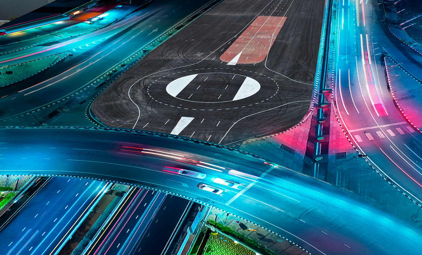
![]() Boundaries:
Boundaries:
South –Sidewalk and a slope going down towards agricultural fields.
North – Sidewalk and a dirt embankment running parallel to the road.
East – A traffic circle (this remains open during research studies).
West – End of the road and a dirt embankment.
![]() Site Attributes:
Site Attributes:
A two-way road with continuous separation of the two lanes. Along the road are various passing bays and parking spaces on both sides. In addition to entry via the traffic circle, there are two additional entrances from the north, which include openings in the traffic island separating the two lanes in order to permit U-turns.
![]() Amenities:
Amenities:
There are no restrooms at the research site.
No Wi-Fi – it is necessary to bring a cellular dongle.
Food and drink – the research team will have to bring their own (the nearest place to buy food is in Yokneam).
There will be work vehicles and trucks moving around the industrial area, going to various construction sites.
Coordination and site closing must be done by arrangement with Michael Rosilio (052-4747920).
Near the site is the Mevo Carmel Management Complex, which has a container used to store equipment.
Entrance to the complex where the container is located must be coordinated with Michael Rosilio.
There is no nighttime street lighting at the site.
Site Description (Appendix A):
The site is approx. 400 m in length and includes two lanes of standard width (3.6 m).
There are traffic islands separating the two lanes along the entire route, except for at intersections.
![]() Speeds:
Speeds:
Maximum speed – 70 km/h during a study, 50 km/h when driving for administrative purposes (including between research scenarios). Control post location – due to the site being on a slope, the control post will be at the eastern end, the highest position on the site, as described in the video above, as this allows maximum field of view over the entire site.
![]() Administration:
Administration:
Notification required – one week in advance.